Four green sites in West Kirby are set to be protected from development for the next 15 years under Wirral’s local plan, which has now been submitted to the government.
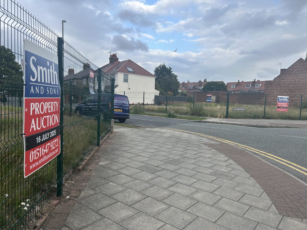
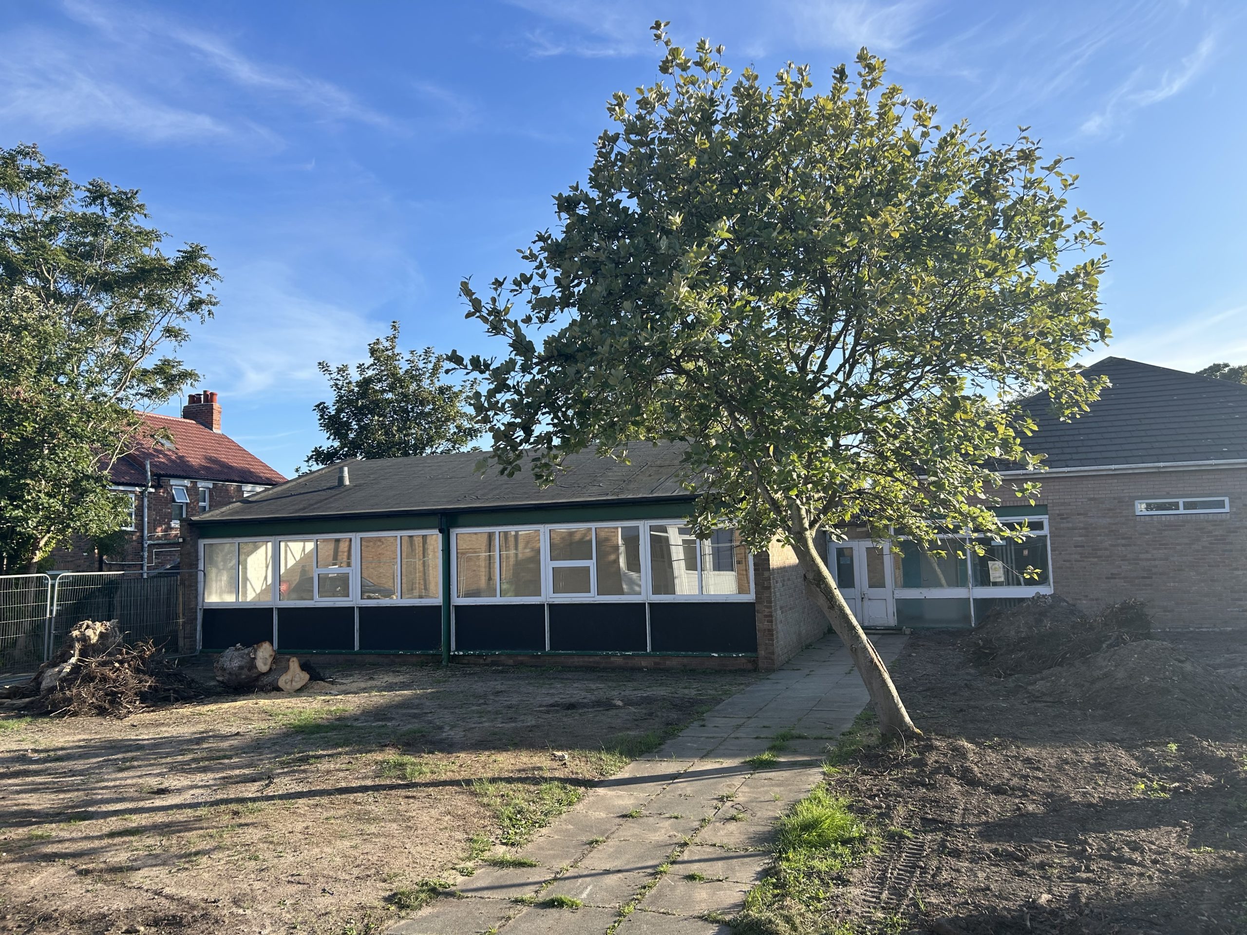
They include Rectory Road Paddocks – which was briefly under threat of development for a care home back in 2019, and the Greenfield Estate on Grange Road (pictured above), which was earmarked for housing in an early draft of the plan and was the subject of a consultation by a developer for 46 homes earlier this year.
The 372 page document – the blueprint to guide development across the borough until 2037, also includes protection for St Bridget’s Playing Field and Ashton Park.
Council planners propose releasing land for around 58 properties in West Kirby and Hoylake – less than half the 132 homes envisaged when consultation on the plan began in 2020.
The largest is an area off Grange Old Road, near the war memorial and allotments, which is earmarked for an estimated 35 homes, despite a 1,500 name petition objecting to its inclusion.
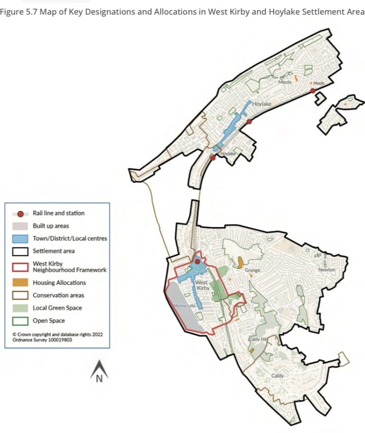
The remaining plots would have between one and nine units.
Most of the housing and regeneration planned for the borough is focused around the east, including what the council describes as “the comprehensive regeneration of Birkenhead to address several decades of decline”.
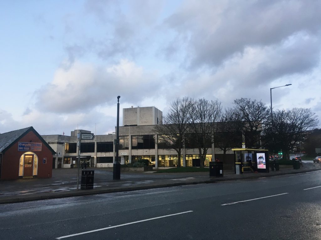
The local plan also includes criteria for revitalising the area around West Kirby Concourse and the town centre, including:
- A “revitalised community hub” with leisure, residential, health, retail, community and transport use
- Buildings “of appropriate scale and height that create an enhanced sense of place and focal points of interest having regard to strategic views in the townscape, the gateway setting of the site and the wider context of the surrounding hillside and Dee Estuary setting”
- Improved access to West Kirby Railway Station and the creation of a new public square
- Improvements to the bus layby area, and car and cycle parking
It also proposes reconfiguring the town centre between Bridge Road, Orrysdale Road and Grange Road, “where alternative uses including new residential development will be encouraged”.
Leader of Wirral Council, Cllr Janette Williamson, said: “This draft Local Plan will set out the future direction of Wirral’s ambitious regeneration plans while ensuring we protect our precious Green Belt and green spaces.
“This is more than a planning document, this is a roadmap for Wirral’s future, outlining our vision of how our borough can fulfil its potential and showing how it will meet the needs of residents and businesses over the next 15 years.”
Following the submission, the next stage will see the Secretary of State for the Department for Levelling Up, Housing and Communities appoint an independent planning inspector to examine its soundness and legal compliance.
The documents associated with the local plan can be read at https://www.wirral.gov.uk/planning-and-building/local-plan-examination